About ThermoAgent AI
Urban heat is a crisis.
We make it actionable.
Cities get much hotter than surrounding rural areas — a problem known as the Urban Heat Island (UHI) effect. Black rooftops, asphalt streets, and a lack of trees trap heat, making neighborhoods dangerously hot. City planners know reflective cool roofs and shade trees help, but manually inspecting an entire city takes too long.
ThermoAgent AI automates this entire process with four specialized AI agents that work together like a team of virtual urban planners — scanning, auditing, simulating, and reporting.
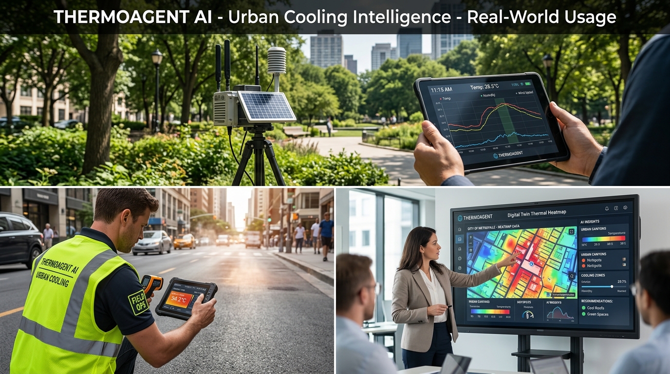
Cities can be hotter than surrounding rural areas
Measurement height — where humans feel the heat
Threshold above normal for UHI alerts
Potential cost reduction through smart material choices
How it works
Four agents. One mission.
Instead of manual inspection, four specialized AI agents work together to detect, analyze, simulate, and plan for urban heat reduction.
The Heat Detector
Continuously scans temperature data across city blocks. When air temperature jumps +3.5°F above normal, it raises a flag — like a digital fire alarm, but for ambient heat instead of smoke.
The Building Auditor
Once a hot spot is flagged, it scans every building in that area to find the worst offenders: big, flat rooftops that absorb heat with very few trees nearby.
The Physics Simulator
Math-tests different cooling ideas before spending real money. Calculates exact temperature drops, energy savings, and ROI for each proposed intervention.
The City Reporter
Converts all the math into clear maps, cost estimates, and ready-to-use action plans for mayors, city planners, and building owners.
Why it matters
Built for impact.
Human Comfort First
Most heat maps show surface temperature. We measure air at 2 meters — directly impacting public health.
Actionable, Not Just Informational
Gives specific instructions: which buildings to paint, where to plant trees, and exactly how much it costs.
Saves Money
Calculates energy bill savings and ROI for every intervention, making it easy to convince property owners and councils.
Construction Intelligence
Beyond heat detection
An additional agent tracks ongoing construction projects — parks, hospitals, schools — and analyzes local temperature to recommend the right materials and methods. This prevents costly reconstruction from material failure due to heat, saving both time and money.
On-Site Constructor Report
Material and method recommendations based on average area temperature — scheduled work hours, concrete types, curing compounds.
Cost Reduction Report
Quantifies savings from temperature-appropriate materials — avoided rework, penalty prevention, and reduced thermal stress repairs.
Ready to explore?
Browse heat hotspots, construction projects, and generated reports.